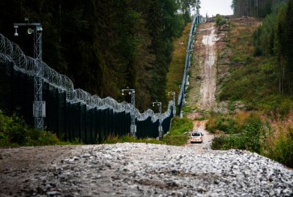
The first compensations to landowners will soon be paid for the eastern border barrier fence
Several sections of the 200-kilometre-long barrier fence along the eastern border will be completed during 2025. The expropriation committee, led by a cadastral surveyor from the National Land Survey of Finland, assesses and determines the expropriation compensation for landowners at a new increased rate.
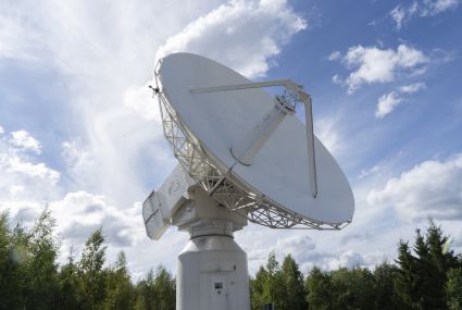
The UN urges member states to safeguard observations important for positioning
Many activities critical to society, such as rescue services, power grids and stock exchanges, require satellite positioning to function properly.

Drones are used to detect spruce bark beetle’s damage to trees faster than before
Researchers at the National Land Survey of Finland have developed an artificial intelligence method that helps detect the early signs of damage faster.
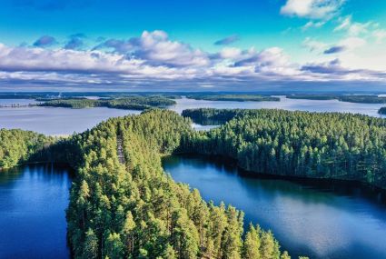
Use geospatial data to enrich your hiking experience
In Paikkatietoikkuna sercive, you can plan your upcoming hikes by saving hiking or jogging trails.
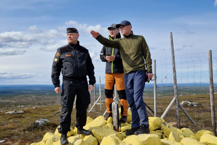
The review of the state boundary between Finland and Norway is nearing completion – the final inspection of terrain work is complete
The Finnish and Norwegian border commissions completed the final inspection of terrain work on the national border between Finland and Norway in June.