As no new editions of printed maps have been made after January 2018, printed maps still available for sale are already several years old. Sales will be discontinued due to lower demand and the need to reduce storage costs. The following printed maps over specific areas are still available for sale at MapSite until the end of this year:
- Basic map 1:25,000
- Topographic map 1:50,000
Order weatherproof maps for your trips at MapSite
You can, now and in the future, order the maps you need as map printouts at MapSite. You can order map printouts over the area you need and in the size you need. The printout will be directly available as a PDF file, or you can order a map printed on paper or weatherproof plastic or fabric delivered directly to your home. Map printouts are available in several sizes (A0–A4) and on different scales.
Under Download geospatial data at MapSite, you can also select topographic or basic maps by map sheet and order them free of charge as accurate PNG images sent to you by email. You can view and print map images using image viewing and processing software on your computer. When using geospatial data software, including the free QGIS program, adjacent map sheets are automatically positioned correctly, making it easier to combine them.
At MapSite, you can freely view up-to-date topographic maps, aerial photos and property boundaries across Finland. You can search for maps by place name, address, property identifier or coordinates, or select a map of your current location. When using larger scales, property boundaries and identifiers can also be shown on maps. You can share your map markers or link them to other sites using map links.
View maps on your smartphone or tablet
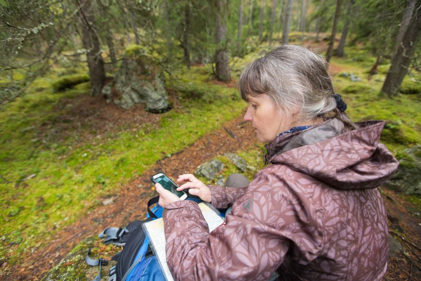
If you need a map when outdoors and you are connected to the Internet, you can also use MapSite or the Paikkatietoikkuna service on your smartphone. You can easily switch between a topographic map and the most recent orthophoto, or add hill shading to a map view to highlight differences in elevation on a topographic map. Check an example view in Paikkatietoikkuna.
Paikkatietoikkuna is a window into Finnish map data. Paikkatietoikkuna consists of more than 4,000 map layers from more than 60 organisations. You can find map layers regarding regional planning, transport networks, topographic maps and nature reserves, to name a few.
Historical aerial photos are among the advantages of Paikkatietoikkuna. More aerial photos from different decades are added to Paikkatietoikkuna at all times, as soon as the NLS’s aerial photo specialists can scan them. If you could not find an aerial photo of your home in the 1970s a year ago, you might now.
The mobile view is a simplified version of Paikkatietoikkuna, which allows the service to be used as smoothly as possible on smaller screens as well. In the mobile view, you can, for example, view map layers, search for places and geospatial data, and use some of the Paikkatietoikkuna tools.


