This spring, researchers from the NLS will tackle the problem of detecting GNSS interference and define the countermeasures required. One of the research themes of the Finnish Geospatial Research Institute (FGI) of the NLS is the safe and reliable use of positioning.
'‘We are now developing a prototype to detect interference in real time and warn users about it. The idea is also to save positioning data and develop methods for processing aerial photos in GNSS interference situations,’ says Mika Saajasto, Senior Research Scientist at the NLS.
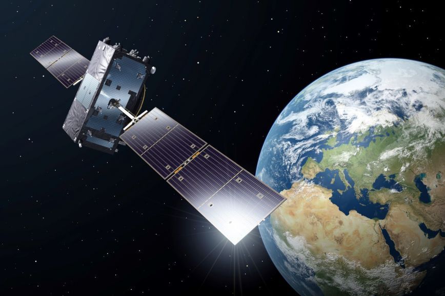
Research helps minimise the growing risks of interference
GNSS interference in the Finnish territory has increased significantly since 2022. The Finnish Transport and Communications Agency (Traficom) had received, by May 2024 alone, 1,200 notifications of GNSS interference in aviation in the Finnish territory, compared to 239 a year earlier.
Interference causes inconvenience to users of satellite positioning such as air and sea traffic. It also presents risks to the NLS’s annual aerial photography and laser scanning flights, which start in spring and serve to collect data critical for society, including the Finnish Defence Forces, the Finnish Border Guard, the Finnish Food Authority, as well as the forest and nature sectors. Last year, part of data collected in Southeast Finland was unusable due to interference. The financial benefits of the laser scanning and aerial photography data for the forest sector and in avoiding flood damage amount to tens of millions of euros annually. If the collection of data fails, it will have consequences for users of the data.
There is a constant demand for solutions developed by research to prepare for interference. About to start in April 2025, the research project for GNSS interference and GNSS receivers’ interference tolerance will continue until March 2027. Co-funded by the EU, the project is financed by the Centre for Economic Development, Transport and the Environment for North Karelia through ERDF funding. Research fieldwork, including data collection and prototype testing, will be carried out in Joensuu.
The NLS will implement the project in cooperation with companies, including Kelluu and Septentrio. Other project parties are CareliaForest, Ponsse and Arbonaut.
Further information
Mika Saajasto, Senior Research Scientist, National Land Survey of Finland, +358 29 531 4314, firstname.lastname@nls.fi