The project focused on certain development areas such as the solar energy potential, energy efficiency in buildings, and the opportunities offered by the development of smart cities and electric vehicle infrastructures. GeoE3 showed how 3D building data can be used to assess energy efficiency. In addition, it strengthened the integration of geospatial and statistical data.
Tools that are here to stay
One of the most significant products generated in the project is the Location Europe platform which combines various data sources and facilitates the cross-border exchange of data. For example, it enables the linking of climate, weather and environmental data with individual buildings.
Another key product, the Location Innovation Academy, shares the best practices built in the project and offers e-learning modules to develop the use and integration of data. Online training supports the modern cross-border management, processing and sharing of data. The Academy already has more than 700 registered users.
The work continues
The work done in GeoE3 will continue through the Location Innovation Hub. One of its goals is to promote European data spaces by improving the availability and interoperability of data.
'While we have now shown how the availability, interoperability and usability of location data can be improved in Europe, we must continue this work together. We encourage all European survey organisations to join our network so that we can all lead the European geospatial data ecosystem forward', says Antti Jakobsson, GeoE3 project manager.
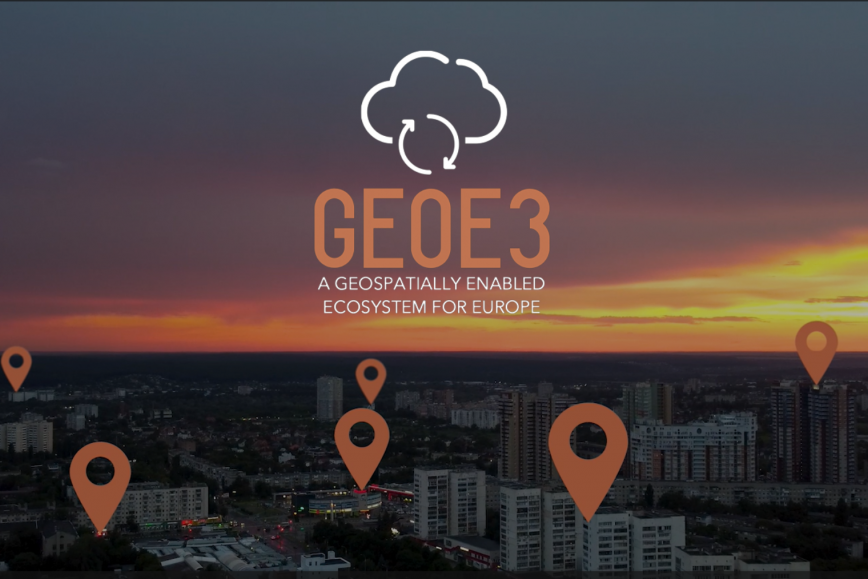
The GeoE3 project was coordinated by the Finnish Geospatial Research Institute (FGI) of the National Land Survey of Finland (NLS), partnered with 12 organisations from Finland and other parts of Europe. The project was funded by the EU.
Take a closer look at the GeoE3 project’s results in the video.
Further information
Antti Jakobsson, Project Manager, firstname.lastname@nls.fi, +358 50 599 4123