If satellite services were to stop functioning, the effects might seem minor at first. Smartphone map location or automatic bus schedules would probably be the first things you would notice.
However, the phenomenon would begin to impact the society as a whole very quickly. In addition to consumer applications and location services, telecommunications, stock markets, electric grids and the defence industry all rely on satellite services. Societies are increasingly dependent on satellites.
These services failing would create a significant global impact. This is a real risk that, according to the UN’s latest Hidden Risk report, is caused by a lack of information and resources. Last week, the United Nations Committee of Experts on Global Geospatial Information Management (UN-GGIM) urged UN members to begin taking preventative action.
Satellite operation requires persistent measurement
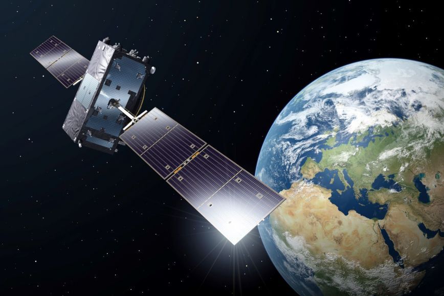
Accurate and reliable satellite services requires persistent monitoring of the position of the Earth as well as the satellites’ positions around it. Due to the significant distances, even a slight inaccuracy may cause a significant error in a location service, for example. Location data is supplied through a global chain of geodetic data sets. The supply chain consists of observation stations on the ground, data centres, analysis centres and trained experts. In Finland, this work takes place at the Metsähovi Geodetic Research Station, which is operated by the National Land Survey of Finland.
'Finland is a pioneer, as we have understood the significance of geodetic infrastructure for a stable society, and the government has allocated resources to maintain it. The Metsähovi Geodetic Research Station is of the most modern in the world, and it is important to ensure that it remains in operation. This way, Finland does its part to make sure globally important services remain operational,' says NLS Director General Pasi Patrikainen.
The Metsähovi Station is a part of an international network of observation stations, and it requires other stations to functions. The significant challenge is that there is no international regulation to maintain similar infrastructure, and many countries have left the maintenance to individual research institutes. A recent trend has been to shut down observation stations due to a lack of resources.
'One of the reasons for this is the lack of knowledge. Decision-makers do not necessarily understand the dramatic effect that it would have for this supply chain to break. The more of these stations are shut down, the greater the risk of a disruption becomes,' says Nicholas Brown, Director of the UN Global Geodetic Centre of Excellence (UN-GGCE).
UN urges members to take action
UN-GGIM is an intergovernmental cooperative body that aims to find a common direction for national and international politicians around geospatial data. The most important goal of its work is to produce up-to-date, reliable and available geospatial data sets that support national and global development.
The National Land Survey is the authority for geospatial data in Finland, and at the New York meeting, Finland’s representatives for the NLS were professor of geodesy Hannu Koivula, Director General Pasi Patrikainen, and Head of International Affairs Heli Ursin. Finland’s delegation also included Rainer Mustaniemi, from Traficom. Koivula presented Finland’s concurrence with the development plan, which was a subject of the meeting.
To ensure the continuity of satellite services, the UN presented a call to action to its members, in which it recommends the definition of geodetic data set supply chains as critical infrastructure, the establishment of cooperative bodies around geodesy, the securing of resources of competence, and the analysis of national risks.
'Reliable geospatial data is also a question of security. This is a topic that is not just the purview of researchers of the geospatial data authority, instead requiring functional cooperation and proactivity between the public sector, decision-makers and the industry. This is also a matter in which Finland should be active on both the national and international levels,' says Pasi Patrikainen.
Further information
Hannu Koivula, professor, Finnish Geospatial Research Institute of the National Land Survey of Finland, 029 531 4787
Pasi Patrikainen, Director General, 029 531 5400
firstname.lastname@nls.fi