The Finnish Geospatial Research Institute (FGI) of the National Land Survey of Finland (NLS) took significant steps forward in academic research yet again in 2024. The year brought along new research projects, whose effectiveness was at a high level. Published peer-reviewed articles numbered 116, and scientific articles were referred to 8,304 times in the Web of Science database during the five-year period.
‘Cooperation with companies is a key part of the NLS’s research activities, allowing Finnish business life and society alike to benefit from its research results and data,’ says Jarkko Koskinen, Director General at the NLS.
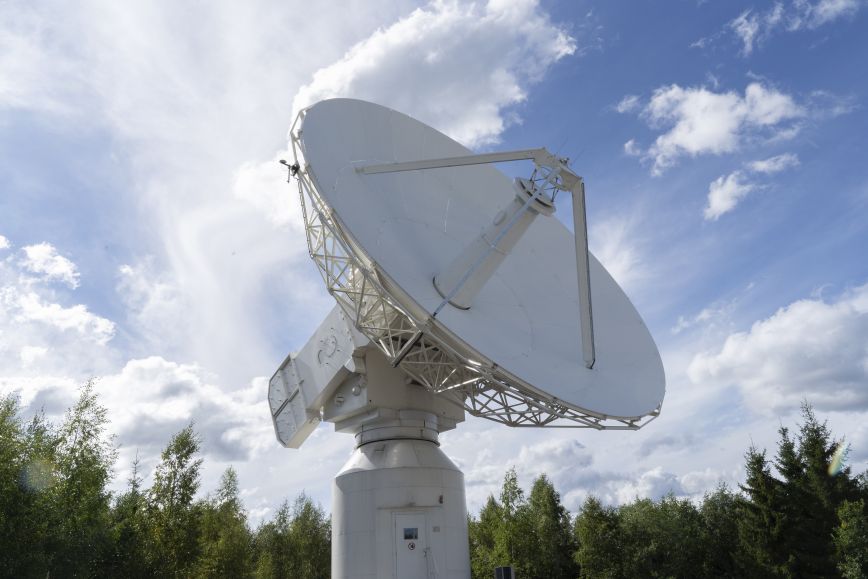
The security environment has further increased the need for positioning research
Demand for research expertise in navigation and positioning has increased both nationally and internationally, accelerated by changes in the global situation. Increased interference with satellite positioning in Finland kept the NLS’s researchers and specialists busy in 2024.
The NLS’s annual aerial photos required especially in agriculture and forestry suffer from interference with satellite positioning which underlines the need for new solutions achieved through research. The NLS is developing new expertise to prepare for interference in the air and at sea.
Accurate information about Finnish forests and waterbodies to secure the future
Finland’s forest sector gains financial benefits of tens of millions of euros each year through remote sensing and laser scanning. This is based on effective methods developed based on Finnish research.
The NLS’s research is constantly developing methods to collect data on forests, waterbodies and the environment. This work has been carried out in various research projects and as part of the Research Council of Finland’s flagships UNITE focused on forests and Digital Waters.
FGI has studied the use of laser scanning data to generate even more accurate data on forest resources. The result is the Forest Database, which combines statistics with national laser scanning data and currently contains data on 5.8 billion individual trees. Covering more than 20 million hectares, it is one of the largest forest databases in the world.
Continuously securing the reliability of geospatial data
Geospatial data does not remain reliable by itself. The planet is changing its shape, tectonic plates are moving, land is rising, and as a result, coordinates are changing. To keep geospatial data reliable and interoperable, the underlying reference systems must be updated from time to time, and accurate standardised transformations between systems must be maintained. For example in 2024, the NLS released a new geoid model, which has increased the accuracy of satellite positioning by 30 per cent from before.
The Metsähovi geodetic research station is a vital part of the geospatial data infrastructure in Finland, which has been given a new role as part of the Space Situational Awareness Centre to be established in Finland. Its establishment will contribute to Finland’s comprehensive security: it will improve national crisis tolerance, the maintenance of critical infrastructure and security of supply, and cybersecurity.
The use of geospatial data is expanding in Europe – expertise increasing through research
The geospatial datasets required by society, companies and research are massive and offer various opportunities. Finnish research plays an important role in producing up-to-date information and expertise for the rapidly growing geospatial data sector. The rapid development of European data spaces, meaning virtual spaces for distributing data (e.g. EOSC and Green Deal Data Space), has significantly increased demand for expertise related to FGI’s data infrastructures.
The Geoportti research infrastructure was selected in the Research Council of Finland’s roadmap for Finnish research infrastructures 2025–2028 with 20 other leading national research infrastructures. The roadmap is a tool for research communities, decision-makers and funding providers in steering investments and supporting research, development and innovation.
Further information
Jarkko Koskinen, Director General, Finnish Geospatial Research Institute of the National Land Survey of Finland, +358 50 337 2902, firstname.lastname@nls.fi