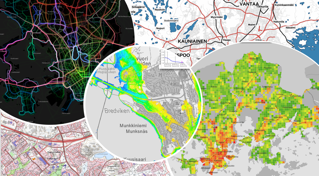
In the Department of Geoinformatics and Cartography, the focus of the research is in the management and processing of geospatial information as well as in utilisation of geospatial information as widely as possible.
Research groups:
- Geospatial Technologies and Infrastructures
- Geospatial data analysis, visualisation and user interfaces
Spatial data infrastructures and related fields, such as interoperable web services, technical standards and harmonisation of spatial data, is one of the core areas in the department. Efficient geocomputation methods scalable for large data volumes and related visualisation methods are continuously an important field of research. Use of geospatial information has recently found its way to consumer applications. Following that trend, interaction research and usability studies related to geospatial information have also become important for the department. The department gets its research funding from different sources such as the Academy of Finland, The Finnish Centre for Technology and Innovation and European Union. The department is active in international research organisations such as International Cartographic Association, Association for Geographic Information Laboratories in Europe, Open Geospatial Consortium and EuroGeographics.
