Geospatial Representation and Interaction

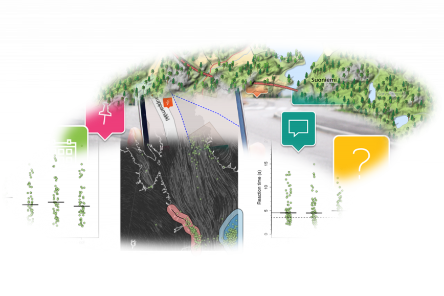
The research group "Geospatial Representation and Interaction” studies how to efficiently convey geoinformation to the users in the most useful ways. The group works on geospatial representations that implement latest and emerging presentation and interaction technologies, and display high-quality geovisualisation and cartography.
The scope of the group includes research on
- understanding human spatial cognition lying under the use of geospatial representations,
- designing the representations to be effective in meaningful use cases,
- innovating fluent means to construct the representations and
- evaluating usefulness and usability of the representations.
Contact persons
Members
Keywords
spacial data
user interface
geovisualisation
cartography
spatial cognition
Departments
